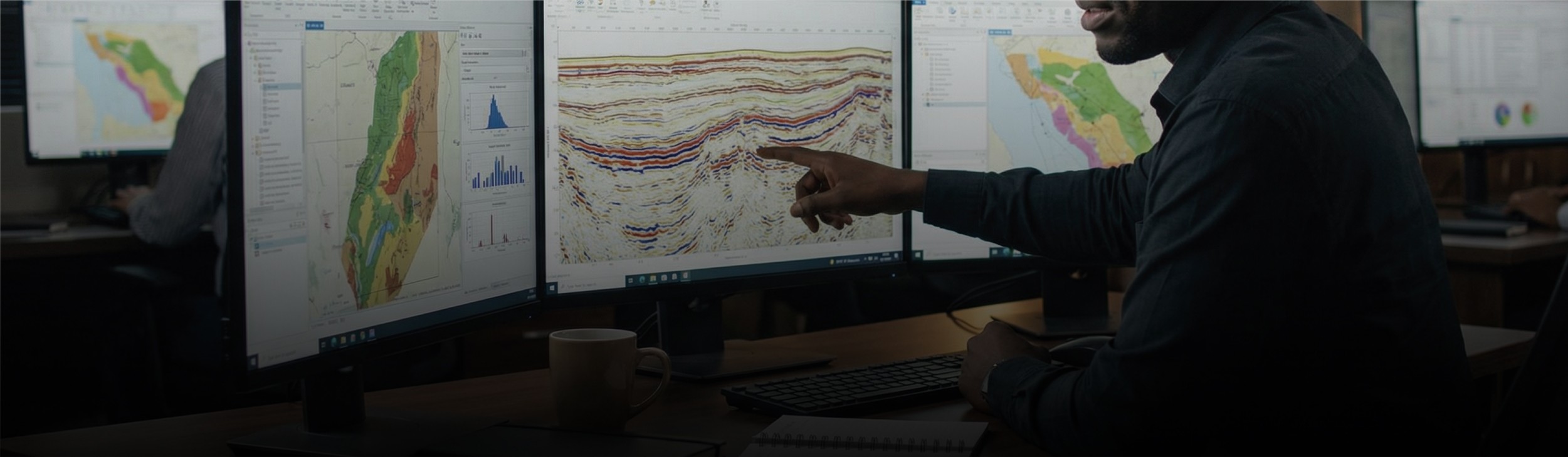

We transform raw field data into reliable subsurface images that executive and asset teams can trust. Our processing capabilities span land, marine, and transition zone environments, including OBC and OBN geometries.
Using proven algorithms, robust velocity model building, and disciplined QC gates, we enhance signal clarity, improve imaging beneath complex overburden, and deliver products ready for interpretation, inversion, and reservoir characterization. Deliverables are structured to integrate seamlessly into client evaluation workflows.
Explore our suite of services

Marine Seismic Acquisition
Comprehensive management and execution of 2D, 3D, 4D, Broadband, and OBS programs with emphasis on operational control, data integrity, and HSE compliance.

Technical & Assurance Services
Independent QAQC, survey optimization, and illumination studies designed to protect investment outcomes.
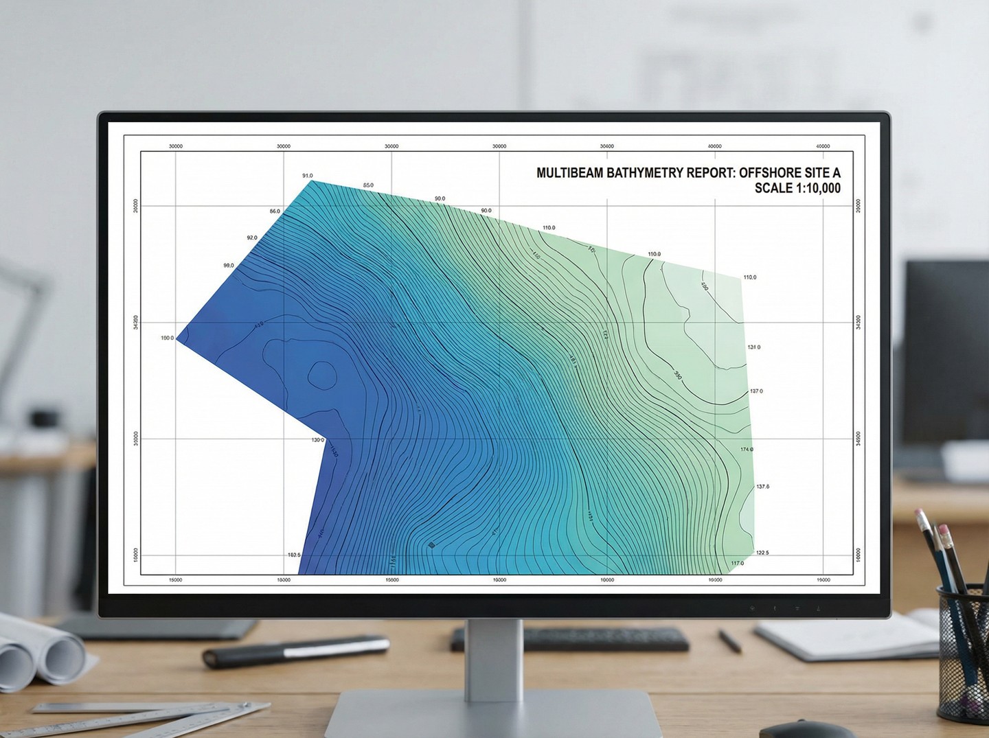
Geotechnical & Site Characterization
Accurate environmental and seabed intelligence for engineering design and offshore installations.

Reservoir & Field Development
Integrated analyses supporting recovery optimization, drilling strategy, and lifecycle management.